

GPS Device Accuracy - Why does your GPS Device show a slightly different reading to my friends?
This is a question’s that we get asked on a regular basis. GPS Device Accuracy - Why does your GPS Device show a slightly different reading to my friends?
There are various reasons why we can see some slight differences in reading between different GPS Devices, hopefully the information below will help understand why this can happen.
How a GPS unit receives its GPS Signal
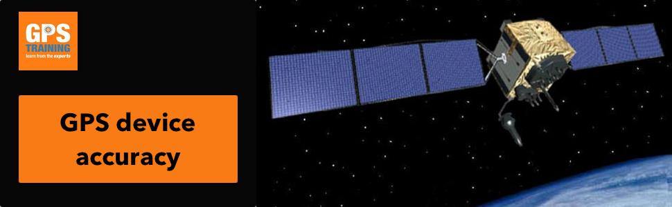
GPS devices gather data from a group of 28+ satellites that orbit Earth twice a day, following exact trajectories such that, at any given time at any given location on earth there will always be at least four visible, four satellites is the minimum number that your GPS Device needs to see to work out both your location and vertical height, you will find that the newer generation GPS device will often lock onto 8+ Satellites.
Each Satellite transmits information about its position and the current time at regular intervals. These signals, travelling at the speed of light, are intercepted by your GPS Device, which calculates how far away each satellite is based on how long it took for the messages to arrive.
Once the information is received on how far away at least three satellites are, your GPS Device can pinpoint your location using a process called trilateration.
Your GPS Device is a line of sight instrument and needs a good view of the Sky to lock onto a Satellite signal.
Errors of distance on a GPS unit
If you’ve ever downloaded a GPS file only to find your path on the map is parallel to a road but not actually on it, that’s measurement error, Satellite signals travel through our atmosphere, which slows them down slightly.
GPS device manufacturers do compensate for that with algorithms, but even then, the most advanced newer recreational GPS Devices they can only approximate your position within three to five horizontal meters; in older GPS Devices this accuracy can be less within a diameter of 10 meters.
Interpolation error on a GPS unit
If you’ve ever downloaded your GPS track recording and it shows path around a curve as a weird series of jerky straight lines, you’ve experienced interpolation error.
GPS devices measure your location at intervals, so your path ends up being a series of discrete points. Software typically connects those points with straight lines even if your route is curved.
Software apps like Garmin Connect or Strava, if you used them can correct to follow known roads, but if your sampling interval isn’t fast enough, the path can incorrectly account for a small variance in distance.
Other errors of accuracy on a GPS unit
GPS accuracy also varies with signal strength, hardware integrity, and even whether your firmware is updated. Certain settings may also interfere with accuracy: If you set your device to auto-pause when you stop moving, you have-to move continuously for a certain distance before the system starts measuring again.
Also, if your signal drops out for a very short period e.g. you could go under a bridge, through a short tunnel, enter a building or porch briefly etc, this data drop-out can cause what we call Noise / Data Corruption to your recorded track and show you a strange Speed figure or a small additional distance recording.
Errors of elevation on a GPS unit
Barometric drift: GPS devices can read elevation two ways. The most common for newer recreational handheld GPS Devices for hiking or cycling is with a built-in barometric altimeter, which uses changes in barometric Air Pressure to compute altitude changes. But barometric pressure also changes based on weather and temperature, so it’s always going to be slightly off.
Elevation gains are relative, not absolute, e.g. If you take your GPS Device from your warm house and go out and walk / ride in a much lower or higher temperature, the device will show incorrect readings for the first 10 – 20 minutes approximately until the device self-calibrates itself depending on your settings.
A GPS Device without a barometric altimeter or like a phone app, uses your GPS position and a value called a reference ellipsoid to calculate elevation, but it’s often more inaccurate than a calibrated Barometric Altimeter, this is one of the reasons why Garmin Connect and Strava offer elevation corrections when you download a file to them.
Conclusion
Because of all these errors, every time you do a walk, hike, ride etc. your GPS will produce slightly different data sets and if you and a friend do the same ride, your files will be different.
Distance errors are mainly down to the way that GPS relies on interpolation meaning that your recorded distance will tend to be slightly longer than your actual distance.
Elevation data typically varies more widely, partly comes downs to individual hardware, including the presence or absence of a barometric altimeter and correct / regular calibration of your Barometric Altimeter.
Also remember when comparring even the same GPS Devices to each other they may have differnt user settings, different software / firmware updates and being carried in different ways affecting the view of the Sky that the device has.
Different GPS Devices can have different size Antenna and may not be able to pick up all of the same Satellite systems as each other.
What can we do about errors with a GPS unit?
If you want the most accurate data, here are some good GPS practices:
- Software
Make sure your GPS Device has the latest Firmware / Software Updates from the manufacturer.
- Satellites
If you have a newer GPS Device that as well GPS Satellites can also lock onto the GLONASS Russian system and the land-based WASS / EGNOSS Systems, make sure these are all turned on in your settings.
There are also now multi band GPS units (updated 19/01/2021), these now work on 5 satellite systems and it takes two 'bands' from each and cross references them against each other. This achieves a more accurate location fix.
More satellites equal a more precise and quicker location fix.
There is a great Website that shows you a Map of Active Satellites – More info here
View of Sky
A GPS Device is a line of sight instrument and needs to have a good view of the sky when you are carrying it to enable it to lock onto Satellites.
We recommend when walking / hiking carrying your Garmin GPS externally with something link a Back-back Tether, Carabiner Clip, belt clip etc or on a bike with one of the many bar mounts.
Improving height data from barometric altimeter on a GPS unit
If you have a GPS Device with a Barometric Altimeter make sure you calibrate it on a regular basis to a known height value or Air pressure value.
We find ideally if you turn your GPS device on at the point that you are starting your activity at and leave it on at this fixed height position for a good 15 – 20 minutes before you start your activity the Height reading from the Barometric Altimeter will be more accurate as the unit will have started to self-calibrate if you have this option turned on.
If you are using a SatMap Activity 20 GPS Device with their mapping that has detailed digital height data built-in e.g. SatMaps HR Ordnance Survey Maps, you can change the Elevation setting in the unit to read height data from the maps, this is a setting that we really like.
Track / Activity Recording - improving accuracy on GPS unit
Increase your Tracking / Activity rate (if your GPS Device has this function)
Most GPS devices come with a default Track Recording setting of “auto” or “smart” for the tracking interval, but you can set them to ping the satellite more often and even up to once per second.
Downsides? Larger track recording files using up more memory and can also can decrease your battery life.
Before you start your recording make sure your GPS Device has a Strong / Accurate Satellite lock and also make sure any old data has been reset i.e. your Trip and Track data is zero before you start.
Auto Pause – We tend to turn this function off and in the newer generation GPS devices we have the function to manually pause a track when we stop for a long break or go inside a building and then when you have a strong satellite signal at the point you paused your track you can simply resume the recording.
Make sure your stop and save your recording at your Activity end-point before turning off your GPS Device.
Further reading
1. Galileo satellite system - post brexit
2. GPS Training on Radio 2 - Galileo satellite system
3. Interview with Garmin - Launch of dual band Outdoor GPS units
Geoff
I wouldn’t describe the WAAS and EGNOS SBASs as land-based. SBAS = Satellite-based augmentation system.
Yes, there is a significant land-based component to these systems which help determine the system errors. However, the error correction signals that our consumer GNSS receivers pick up are broadcast from clusters of geostationary satellites. One cluster for America (WAAS) and another for Europe (EGNOS).