

Raster v Vector maps for the GB GPS user
Raster v Vector maps for GB
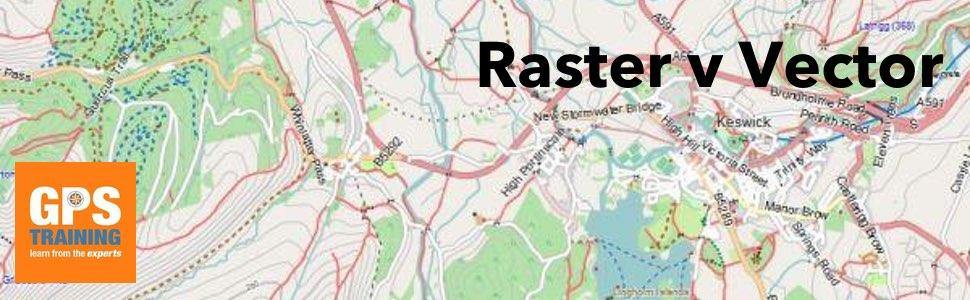
With the advent of Open Sourced maps for use in both Garmin and SatMap GPS units there are now a number of options available for GPS users. What are the differences between Raster v Vector maps?
Vector mapping data
SatMap call this type of mapping an Adventure map, whilst Garmin call it Topo Active mapping, but really it is just open sourced map data.
These maps (open sourced map data) has come from an open data project that creates and distributes geographical data for the world. It is consistently updated as people around the world update the map data in their local area.
These are proper ‘digital maps’, as you zoom in you get more information, as you zoom out you get less.
The key thing is as you move in and out on the map the clarity stays the same.
The only problem with this map type is that as it is not Ordnance Survey based it sadly does not show paths as Footpaths or Bridleways, it just shows everything as a path or track. Often these paths and tracks could be a private drive or something similar.
Raster mapping data
Raster data can be thought of as being similar to a digital photograph.
The reality is in the GB raster maps are just a scanned image of the Ordnance Survey map. Therefore, as you zoom in the map just gets pixelated.
But as most outdoor enthusiasts in GB want to use Ordnance Survey maps on their Outdoor GPS unit the raster maps are used the most.
Further reading on mapping for an Outdoor GPS unit
1. Mapping options for a Garmin GPS device.
2. Garmin Ordnance Survey mapping now with Routable Trail Data within the National Parks